

We Find Water Where Others Come Up Dry
Reduce risk, avoid costly dry wells, and drill with confidence – with precise, technology-driven groundwater targeting.
Know Where to Drill Before You Spend Money Drilling
AquaterreX helps farms, ranches, municipalities, mining operations, data centers, and other water-dependent organizations evaluate groundwater potential before committing to a new well.
We combine satellite and geospatial data, geological analysis, proprietary software, and on-site field verification to identify the strongest drilling targets on a property. Clients receive a precise drilling location, projected depth, estimated flow rate, and critical information about the water-bearing formations beneath the land.
What is Deep Seated Water? →The Problem
Water wells are often drilled with incomplete information, creating the risk of a dry, low-producing, or improperly located well.
What We Do
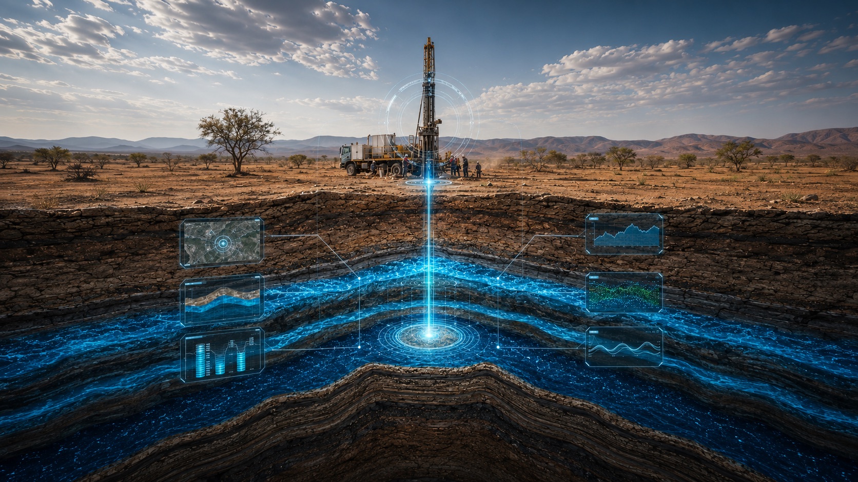
AquaterreX creates a detailed subsurface model – a virtual well before the real well is drilled.
The Result
A more informed drilling decision: where to drill, how deep, and what production may reasonably be expected.
When Water Is Critical, Guessing Where to Drill Is Too Expensive
Water challenges rarely resolve themselves. Dry wells, declining production, and growing demand can quickly become costly operational problems. Before committing to another well, AquaterreX helps you understand the groundwater beneath your property – and where the strongest opportunity may be.
You Have Already Drilled a Dry or Low-Yield Well
Another unsuccessful drilling attempt means more money spent without solving the underlying water problem.
Existing Wells Are Producing Less
Declining well production can restrict crops, livestock, municipal supply, development, or future expansion.
Your Water Demand Is Growing
Before expanding operations, you need a clearer understanding of the water available beneath the property.
You Cannot Afford an Underperforming Well
Drilling costs, equipment, permits, infrastructure, and downtime make the consequences of a poor drilling location much greater than the cost of the borehole alone.
Build a Virtual Water Well Before Drilling the Real One
Groundwater exploration is a science. But drilling decisions are often made with an incomplete picture of what lies beneath the surface.
AquaterreX combines advanced geospatial analysis, subsurface science, proprietary technology, and on-site field verification to create a detailed model of the groundwater potential beneath a property – before drilling begins.
This “virtual well” identifies the most promising drilling location and projects depth, water-bearing formations, and potential flow – adding the missing subsurface intelligence to local knowledge and drilling experience.
From Property Analysis to a Precise Drilling Target
Deep Seated Water Technology™ pinpoints exactly where to drill – and where not to – in four rigorous steps.
Satellite & Geophysical Data
Remotely sensed geospatial data from satellites and airborne surveys across your property – the first layer of a complete subsurface picture.
Processing & Analysis
Proprietary algorithms map subsurface fractures and water pathways, building the model of what lies beneath the land.
On-Site Inspection
Certified hydrogeologists using patented instrumentation verify exact bore-site locations on the ground, confirming the science against field conditions.
Drill With Confidence
You drill exactly where the science says – with a precise GPS location, projected depth, and estimated flow rate in hand.
Water exactly where we said it would be
A well that secured a farm’s future
Produced 900 gallons per minute, exactly as predicted.
Reversing 50 years of decline
Over 1,300 gallons of fresh water per minute.
Good water after 6 dry holes
“A wonderful relief to find good water.” – Charles Smith
Water security for those who depend on it
Four industries. One question answered before you drill.
A 98%+ Success Rate, Proven in the Field
AquaterreX has located more than 1,500 Deep Seated Water wells on four continents, with a success rate above 98% – versus a 30–40% industry average. Every survey delivers:
It is backed by advanced technology, decades of experience, and more than 1,500 successful Deep Seated Water wells.
See Customer Results →Frequently Asked Questions
Across more than 1,500 Deep Seated Water wells on four continents, our success rate exceeds 98% – versus a 30–40% industry average. Every survey delivers a precise drilling location, a projected depth to water-bearing layers, and an estimated flow rate.
Deep Seated Water™ is high-quality groundwater held in deeper aquifers and fracture systems below the shallow zones most drillers rely on. AquaterreX locates it using satellite imagery, airborne geophysics, patented instrumentation and proprietary analysis – even where others say “no water exists.”
The initial assessment takes 3 to 4 hours of expert review by a certified hydrogeologist using satellite and geophysical analysis of your property. A full survey – through on-site verification to a precise, drill-ready location – is typically completed within weeks, not months.
Farms, ranches, municipalities, developers, mining operations, data centers, and large landowners all qualify. If water matters to your property or operation, start with the free Water Discovery Assessment and our groundwater team will review your situation.
Before You Drill, Find Out What May Be Beneath Your Property
Start with a free Water Discovery Assessment. AquaterreX will review your location, current water situation, project requirements, and available groundwater information to determine whether your property may be a candidate for a more comprehensive investigation.
Or call 661-550-0880