The Scientific Approach to Supplemental Groundwater Location for Agriculture in 4 Steps
Water is the Critical Element
Water is the critical element to any agricultural business. In addition to other challenges, many farmers and ranchers are facing unprecedented water shortages that impact the very existence of their families and business. As the backbone for the world’s food supply, lack of water threatens our survival as we know it.
It’s true that shallow aquifers are being contaminated and depleted. Relying only on these shallow aquifers and surface water is outdated and as a result, we are feeling the impact of the idea that there are “no other solutions.” Yet new technology to precisely locate and access deeper, fresh water is here today.
Water Exploration Techniques Have Changed

Exploration techniques for locating and extracting metals, gas, oil, and other minerals have advanced dramatically over the course of the past century with well-established operating standards and procedures across these industries. However, the technologies and methodologies for the detection and exploration of groundwater have not progressed at the same rate, and therefore have not been proven to be significantly reliable and economical. Indeed, a large percentage of water locators still use “water witching” or “dowsing” to try to find water. That’s why the success rate of finding water is less than 40%.
That has all changed. AquaterreX possesses a unique Geospatial Data Analysis and Assessment Method for the Geospatial Mapping, Locating and Extraction of High quality, high quantity, fresh groundwater. In fact, our success rate is over 90% and is approaching 100%.
High-Tech advancements give science-based certainty and accuracy on where to drill and where not to drill. No more dry holes!
Here are four scientifically proven steps to locate groundwater for agriculture.
#1 Groundwater Location
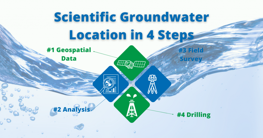
Acquire Remotely Sensed Geospatial Data
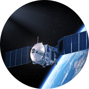
Remotely sensed geospatial data is acquired via satellites and airborne geophysical surveys. This includes:
- satellite imagery
- magnetic
- gravity
- gamma-ray (radiometric),
- digital elevation datasets
- atmospheric
- geology
- hydrology
- regional water well data
- historical data sets
Available data varies by region, but higher resolution data results in significantly better target detection.
#2 Groundwater Location

Processing, Integration and Analysis of Data Sets
The geospatial data sets obtained in Step 1 are then processed, integrated, and analyzed with geographic information software systems (GIS) using a variety of proprietary techniques.
These unique methodologies allow for the detection of shallow and deep groundwater systems, and result in identified Areas of Interest for field surveys.
#3 Groundwater Location
On-site Field Survey
An on-site, on-the-ground field survey and inspection is conducted by an AquaterreX team. The field survey is conducted to verify and validate the findings of the remote analysis, allowing for the accurate identification of exact locations for bore sites (within 1 meter). This includes the deployment of seismic and electro-resistivity measurement devices to map underground structures and locate water.
The combination of remote analysis and on-ground survey information significantly improves the chances of obtaining water. AquaterreX is unique in employing this set of advanced technologies to locate groundwater.
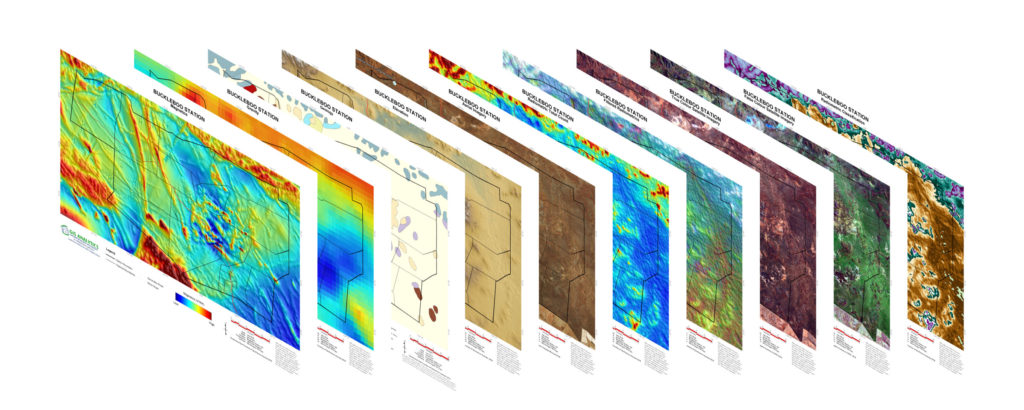
#4 Groundwater Location
Time to Drill the Well!
With the scientific data to hand, you now know where to drill with near 100% accuracy. No guesswork, no witching, just pure science.
Well drilling costs and effort will vary greatly depending on the location, geology, size and depth of the well. In some cases, for example, it will require drilling rigs with a capacity to drill through hard rock. Although many bore holes are shallower, the typical depth for a Deep Seated Water well is 100-200 meters (328-656 feet). AquaterreX can provide and manage the drilling process or work with your preferred drilling contractor.
Now it’s time to put your new, fresh, supplemental water source to good use.
About AquaterreX
AquaterreX (www.aquaterrex.com) is a global environmental services organization with a mission to broadly implement effective water and food security solutions. The name AquaterreX comes from the Latin, aqua (water) and French, terre (earth, land) which is a derivative of the Latin, terra, and “X” for exploration. Thus, AquaterreX encompasses water and land solutions for the planet.
The company possesses proprietary technology to locate Deep Seated Water, which is fresh water situated below the shallow groundwater that supplies the majority of fresh water on the planet. This vast new source of water can help solve the water crisis facing billions of people.